


Rainforest People Country Culture map
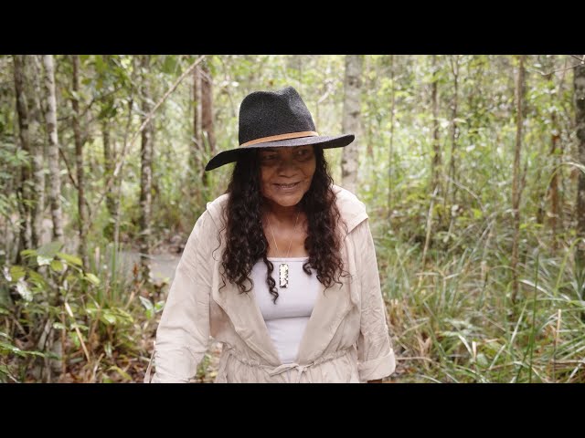
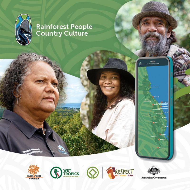 © Wet Tropics Images
The Rainforest People Country Culture interactive map now allows you to gain insight into the cultural landscape of the Rainforest Aboriginal Peoples of the Wet Tropics of Queensland World Heritage Area.
Background
The Wet Tropics World Heritage Area extends about 450 kilometres along Australia’s northeast coast. The area is renowned for its unique biodiversity, extraordinary beauty and deep cultural heritage. It is home to home to one of the world's oldest and continuously evolving cultures—the Rainforest Aboriginal Peoples.
An interactive map
Working closely with Traditional Custodian groups, the Wet Tropics Management Authority (the Authority) and the award-winning, First Nations-led, not-for-profit SharingStories Foundation developed the Rainforest People Country Culture interactive map. The map showcases the Wet Tropics through the eyes and voices of Rainforest Aboriginal Peoples.
The Chair of the Authority and Eastern Kuku Yalanji Elder, Chrissy Grant, said this innovative project will bring you closer to the heart of the Wet Tropics. Prepare to be inspired, captivated and uplifted by the stories of Rainforest Aboriginal Peoples.
“We invite you to take a journey with us through a series of spectacular videos that share Rainforest Aboriginal Peoples’ ongoing connection to Country.”
Outcomes
Supported through the Australian Heritage Grants Program, this initiative is:
- increasing awareness and appreciation of the National Heritage-listed Indigenous cultural values of the Wet Tropics
- educating visitors on a range of themes, including best practice principles for engagement, caring for Country and culturally appropriate protocols when visiting rainforest Country.