


Regional Resilience Strategy Burnett Region
The Queensland Government is committed to strengthening disaster resilience so our communities are better equipped to deal with the increasing prevalence of natural disasters. Queensland’s suite of Regional Resilience Strategies ensures every region is now part of a locally led, regionally coordinated, and state-facilitated blueprint to strengthen disaster resilience.
Every community is different, and these strategies use a co-design process and place-based approach that:
- recognises communities are best placed to understand and identify their needs
- reflects local communities working together and sharing local knowledge to address local risks.
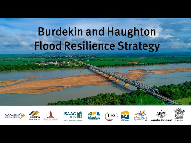
The Burdekin and Haughton Flood Resilience Strategy
The Burdekin and Haughton Flood Resilience Strategy is a locally led and regionally coordinated blueprint that leverages the communities’ existing resilience. It unites the community-led approach to flood resilience with innovative and coordinated opportunities to further reduce the region’s flood risk and strengthen the resilience of townships, the economy, infrastructure, and the environment.
Repeated and severe flooding impacted the properties and livelihoods of people living and working in the Burdekin and Haughton catchments. The $1-million Burdekin and Haughton Flood Resilience Strategy was approved to support Queensland communities’ recovery following the North and Far North Queensland Monsoon Trough disaster from 25 January to 14 February 2019. This strategy is part of the $242-million Disaster Recovery Funding Arrangements (DRFA) Category C and D package jointly funded by the Australian and Queensland Governments. It sought to use existing funding streams more efficiently and strategically.
Regional resilience actions
The strategy identified a suite of resilience actions at the local and regional scale, which formed an action plan delivered to the Basin Working Group and its member local governments. The plan was synthesised against existing strategies prepared by local governments to deliver on the regional strategic pathways and local directions set out in the strategy.
Local governments could work independently towards local directions or collaborate via the Basin Working Group or relevant District Disaster Management Groups to develop project business cases. These cases were developed based on regional resilience actions in anticipation of funding rounds, ensuring the projects could be quickly implemented once funding became available.
One of the strategy’s key aspects was establishing a clear, standards-based implementation framework for integrated resilience planning. The approach focused on deriving specific local, regional and fit-for-purpose benchmarks for resilience implementation that were cross-referenced to roles, responsibilities and funding.
A benchmarking approach aimed to provide a range of metrics reflecting the region’s diversity. It was proposed that maturity benchmarking was identified and established as implementation occurred.
This approach resulted in the following supplementary project deliverables.
Barratta’s sub-catchment flood study
- A flood study and modelling for the Barratta’s sub-catchment within the Haughton catchment were delivered. The flood study addressed a data gap in an area of the catchment with highly complex flood characteristics that were not yet quantified.
- The flood study enabled the Burdekin Shire Council to provide more accurate flood warnings and flood information to residents and businesses in the local area, advance community preparedness for future flooding, and contribute to improved disaster resilience in Burdekin Shire.
Get Ready Queensland – forward program
- The strategy produced five-year forward plans for each council’s Get Ready Queensland program, providing a strategic view that built upon the flooding issues known locally and discussed in the strategy.
- The forward plans provided detailed, annual-based approaches for longer-term disaster preparedness and community knowledge goals, through year-on-year approaches which take the community on the continuous improvement journey of enhancing resilience over time.
Flood warning improvements
- The flood classification levels for selected information and forecast gauge locations, defined by BoM and where sufficient data is available, were reviewed and updated.
- The review enabled BoM and local governments across the catchments to provide residents with more accurate flood warnings and flood information.