


Reporting on wetland extent in arid areas
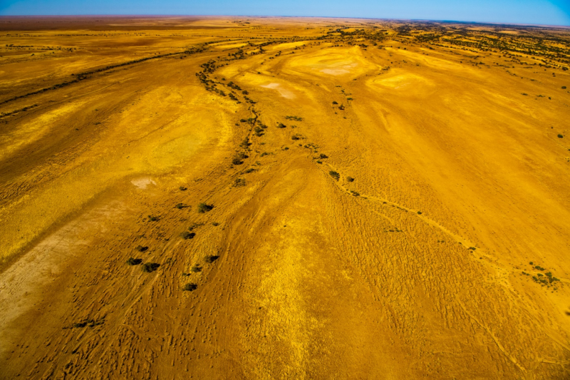 © Photo by Gary Cranitch @ Queensland Museum
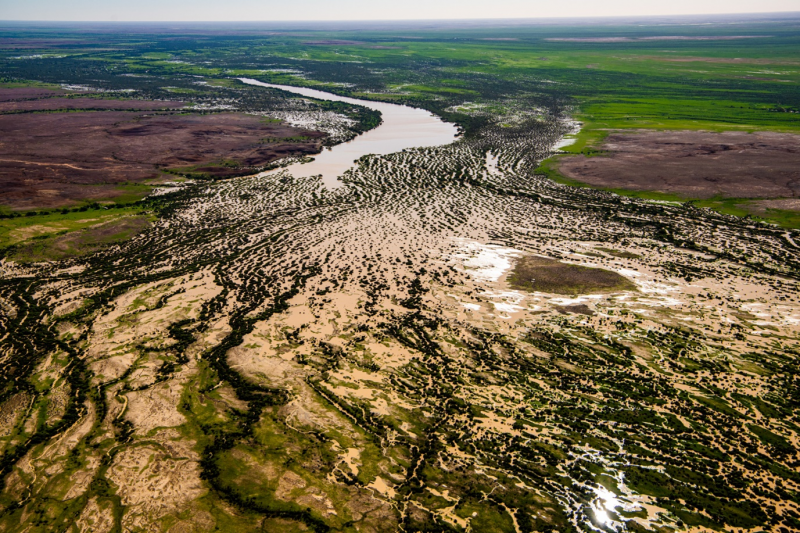 © Photo by Gary Cranitch @ Queensland Museum
Enhancing wetland mapping in arid areas
Queensland Government officers have developed a new powerful decision-support framework to map wetland extent and changes in dry environments effectively.
Background
The catchments of the Lake Eyre Basin, Bulloo, western Murray Darling Basin and western Great Barrier Reef have some of the most variable freshwater flows of any catchments on the planet. In these dry environments, it is hard to map the extent, type and location of rivers and other wetlands and even harder to detect changes in extent over time.
Changes in the wetting and drying cycle must not be confused with changes in the extent of the wetlands. Wetlands remain as wetlands even though they can be dry for many years. It’s the water within the wetlands that comes and goes.
The Queensland Wetlands Mapping process uses a combination of vegetation, topography, soils and satellite imagery to accurately map the wetlands’ maximum extent and boundary. Multiple data sources are necessary because a single source is inadequate for all scenarios. Mapping has been going on for decades, and the maps have been refined.
As many arid areas are not as extensively developed as other areas of the state or have limited infrastructure, it’s possible to focus on changes in the extent where development has occurred, or where infrastructure has been developed. These human activities can result in the loss of wetlands, changes in their hydrological regime or even changes in the wetland type.
A powerful new framework
Working with Geosciences Australia, Department of Environment, Tourism, Science and Innovation officers have integrated information from the Digital Earth Australia Wetland Insight Tool (Wetland Insight Tool) with Wetland Mapping to produce a powerful decision-support framework.
The Wetlands Insight Tool is based on remotely sensed satellite imagery and displays the amount of open water, wet, green vegetation, dry vegetation, and bare soil over time in each wetland. It is now possible to see where the wetlands are, the wetland type, and the vegetation and hydrology associated with them since 1987.
Future initiatives
In the future, there are opportunities to characterise the hydrology of arid wetlands more fully by analysing the patterns seen in the Wetlands Insight Tool. This should provide more insights into how wetlands behave over time. As so much of the ecology in arid wetlands is based on the presence of water, the Wetlands Insight Tool will be a very powerful tool for future SoE reporting.
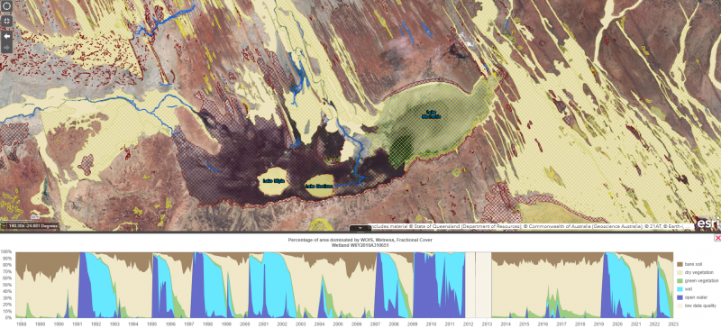 © WetlandMaps